 |
Isle of Wight 2018 SHANKLIN Wednesday 09 May |
|
| Shanklin To Ryde Tube 1938 Downs 1 Downs 2 Coast Maps Homeward Read Me |
Shanklin - Journey and Circular Walk
This was to be my last day on Vectis. Because of a threatened strike (which was actually called off closer to the day) on Wednesday on the lines from Waterloo, I postponed my departure by a day. It seemed opportune to explore the eastern part of Vectis. Hence, Ryde, Shanklin and a walk to and around the highest point on the island, namely St Boniface Down (241 metres, 791 ft), were all ingredients for the day.
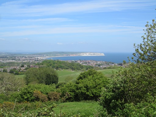
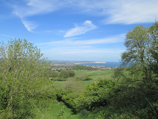
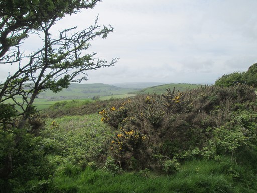
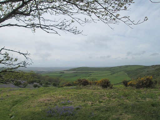
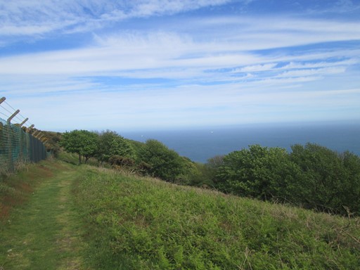
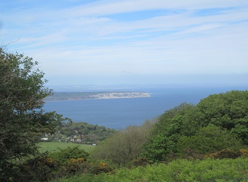
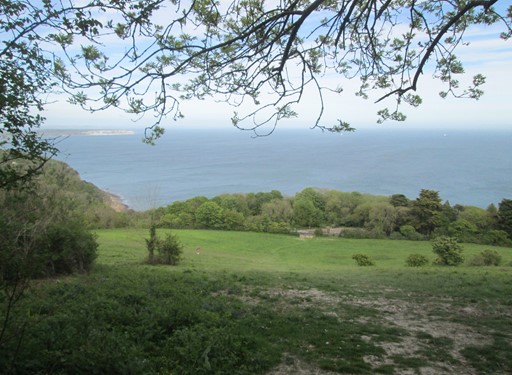
From the old trig point (235 m) on Shanklin Downs
there is a nice view over Shanklin itself and onwards to Culver Cliff.
To Ryde
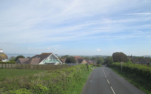
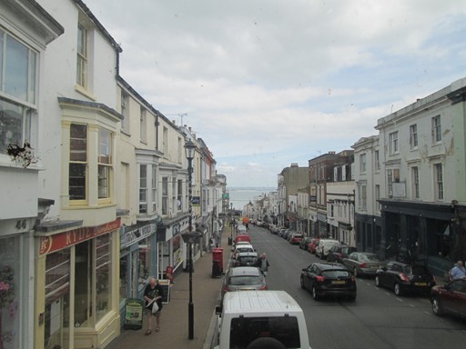
The bus journey to Ryde went as usual via Newport Bus Station taking route 7 to Newport and then 9 to Ryde Esplanade. Totland Bay, Yarmouth, Carisbrooke, Newport, Wootton Bridge and Ryde were all grist to my photographic mill. Travelling can be an experience in itself!
Coming into Totland Bay.
Coming into Yarmouth.
Yarmouth
Carisbrooke Castle
Carisbrooke Church in downtown Carisbrooke.
Coming into Newport.
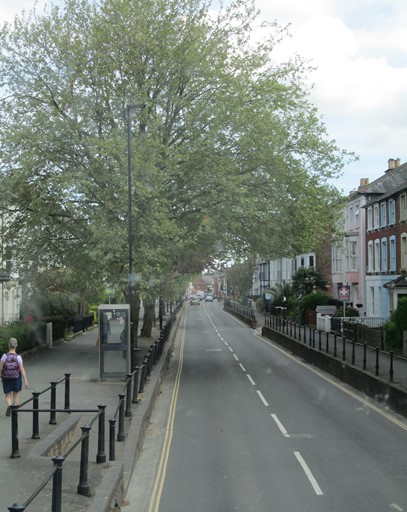
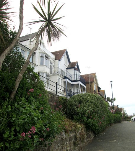
Tree-lined street of Victorian houses. Shame about the 'phone kiosk.
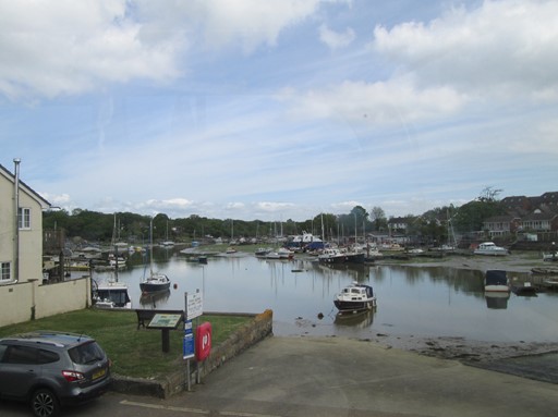
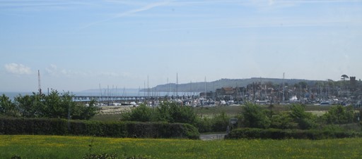
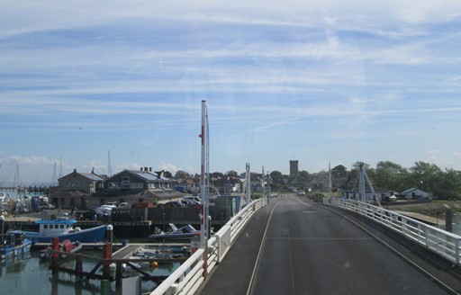
Wootton Bridge harbour.
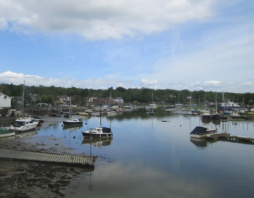
Wootton Bridge harbour.
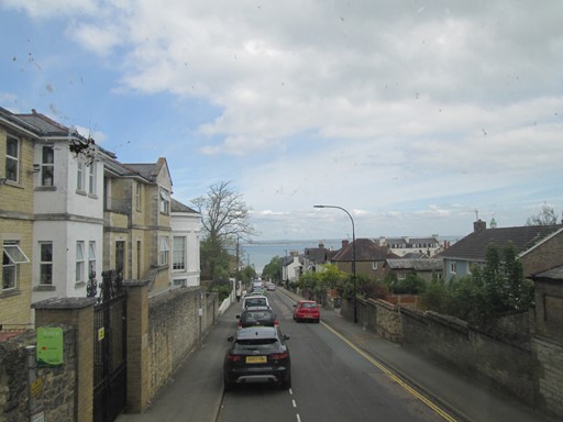
Coming into Ryde.
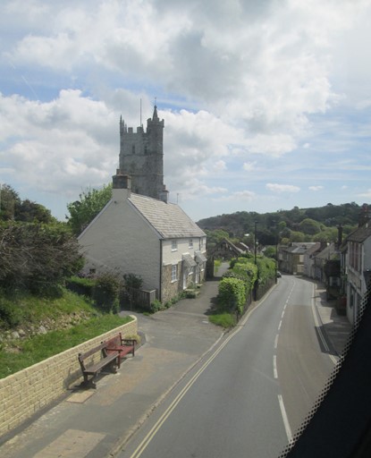
Sloping Victorian road with a view of the mainland in the distance.
Coming into Ryde.
Sloping Victorian road with a view of the mainland in the distance.
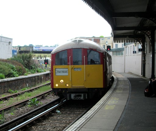
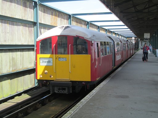
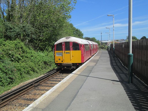
Tube 1938
The journey on "The Island Line" is a journey into the past. The tube cars date from 1938 and have survived the war years and the post-war years. I used to use these cars on the Northern Line to Hampstead. When I mentioned to the "Island Line" staff that they appear to be running a heritage railway, they assured me that it was a working line with a business model akin to the mainlines on the mainland. So there! The cars are getting more and more difficult to maintain, and a possibility is to replace them with the more recently withdrawn TfL District Line D78 (silver) stock - same track gauge of course, but larger loading gauge.
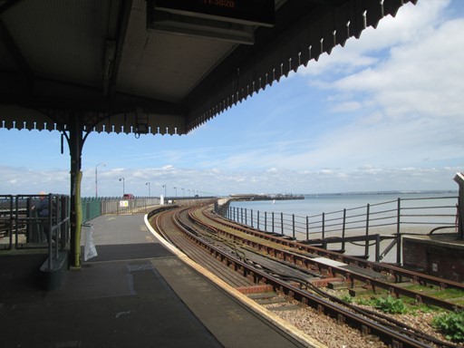
Ryde Esplanade Station - looking towards Ryde Pier Head.
Ryde Esplanade Station - looking south.
Nature seems to have taken over in places!
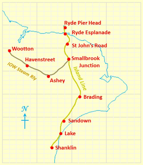
Before the train comes there's time to look at the present-day railway map of the Isle of Wight.
It's of course the "Island Line" this time. Before it was the "IOW Steam Railway".
(The map axes(°) are Longitude -1.25 to -1.05 and Latitude 50.62 to 50.76.)
First we are going to the Pier Head and then we shall travel all 8.37 miles to Shanklin.
The tube "commeth".
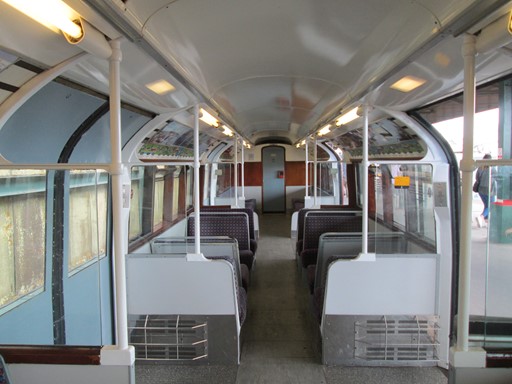
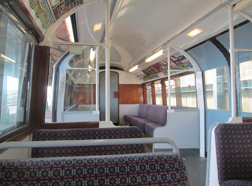
The inside has been slightly revamped since London Transport days.
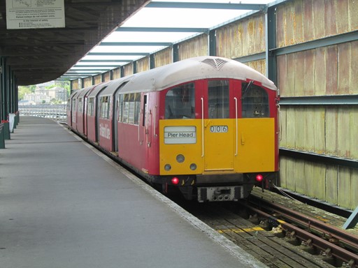
We have arrived at Ryde Pier Head.
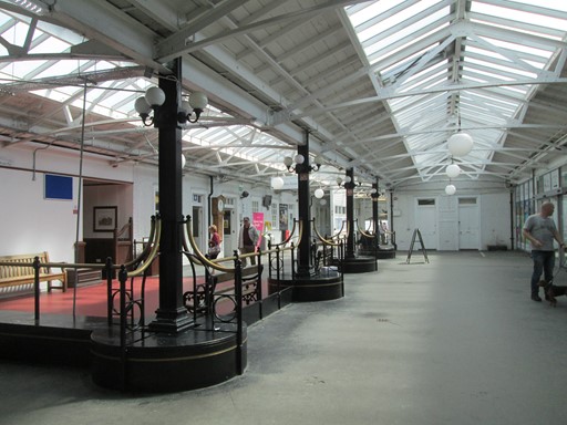
Ryde Pier Head has a Victorian feel.
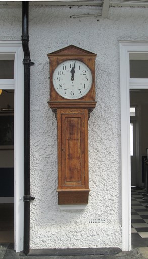
Ryde Pier Head. Traditional station clock.
Train now departing for Shanklin.
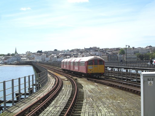
There it goes ...
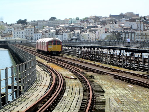
... over the pier.
I take the next train.
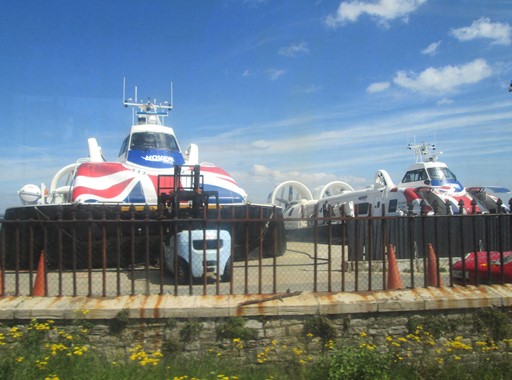
After Ryde Esplanade, one can see
the hovercraft that are used for the fast crossing to Portsmouth.
I'm sure they are not full of eels -
as the Monty Python sketch about the Hungarian phrase book might suggest.
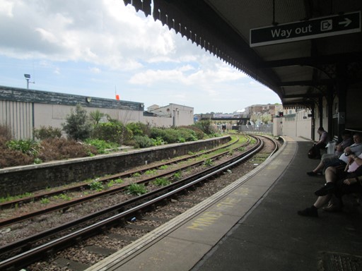
Ryde: St John's Road Station

Ryde: St John's Road Station
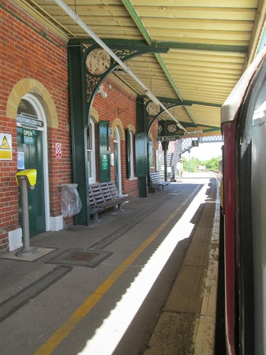
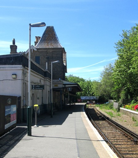
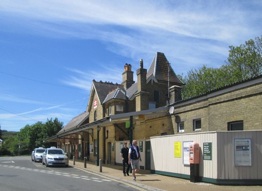
Shanklin Station
Present terminus of the "Island Line"
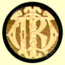
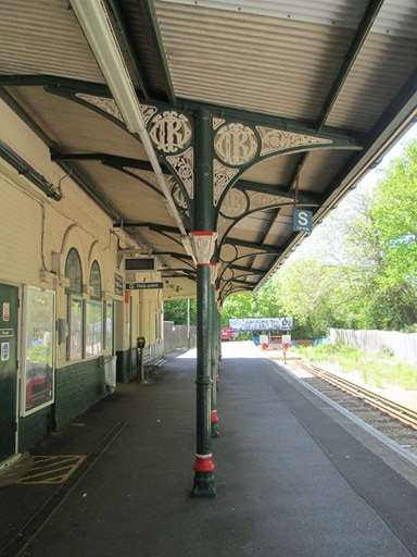
Looking up at the Victorian cast iron supporting the platform "awning"
we can see the ornate Victorian monogram (IWR) of the former "Isle of Wight Railway".
It's intriguing what you might find if you look upwards!
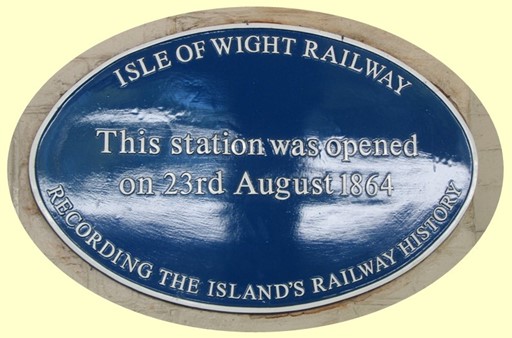
Present day statement of the station's history.
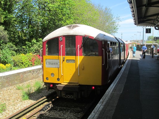
The train on platform one (the only one available) is about to leave for Ryde Pier.
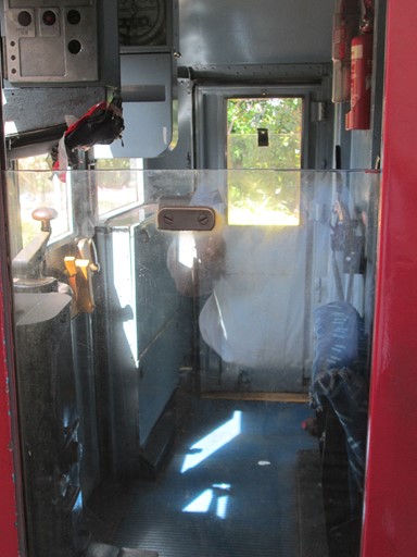
Here's how to drive it.
Note the famous "Dead Man's Handle".
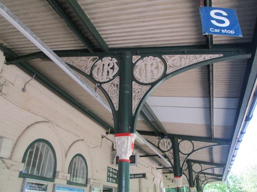
Another look at the platform awning.
The train is departing ...
... leaving me ...
... at Shanklin.
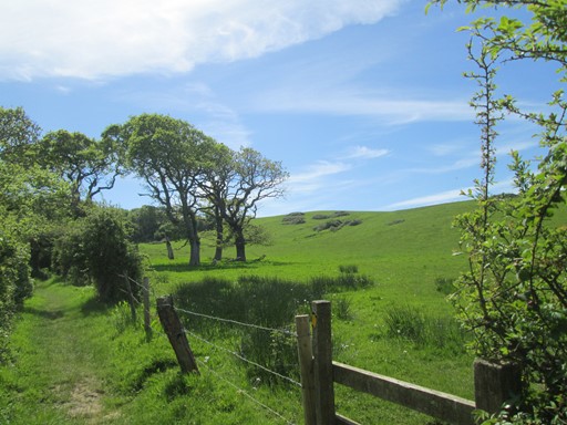
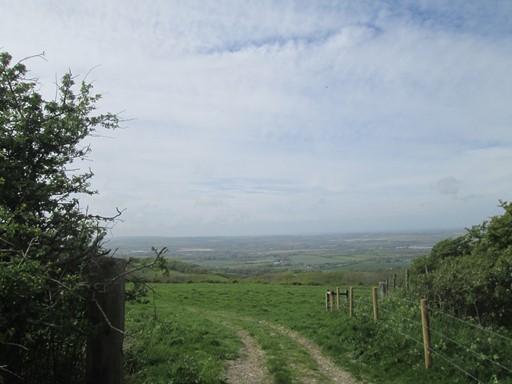
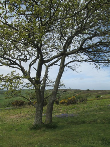
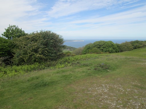
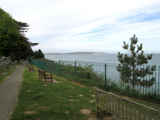
Shanklin Down
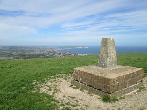
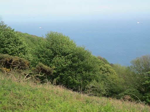
On the first part of my walk I went along the track bed of the long-closed railway line from Shanklin to Ventnor. I reached Upper Hyde, and from there I struck south on to the steep path leading up on to the downs. The way led up to the old trig point (235 m) on Shanklin Downs. From here is a nice view towards the north east, over Shanklin itself, over Sandown and further to Culver Cliff. Bembridge is out of sight, around the corner from Culver Cliff - but the view from the old trig point is already quite impressive even if one can't see everything!

Part of the track bed: Shanklin to Ventnor.
From Upper Hyde one strikes south on to the Downs.
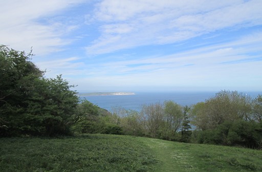
Near the top: north-east view towards Shanklin, Sandown and Culver Cliff.
Near the top: another NE view towards Shanklin, Sandown and Culver Cliff.
View towards the west.
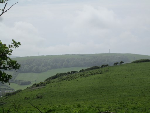
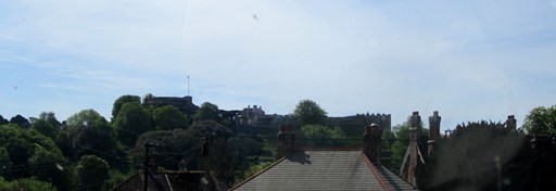
South-facing view towards (in OS® parlance)
the Radio and Radar Stations above Bonchurch and St Boniface Downs.
View towards the north west.
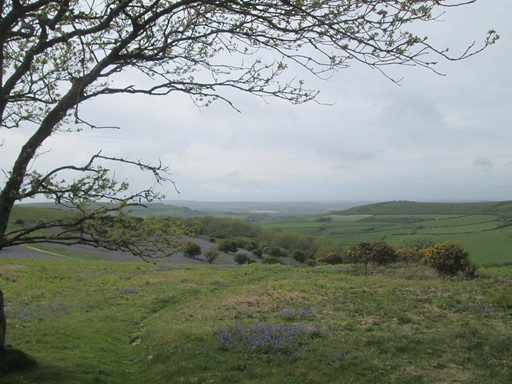
From the old trig point (235 m) on Shanklin Downs
there is a nice view over Shanklin itself and onwards to Culver Cliff.
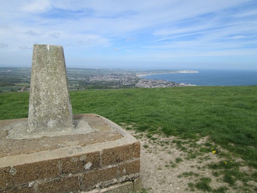
I liked it so much, so here is another picture.
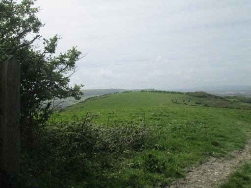
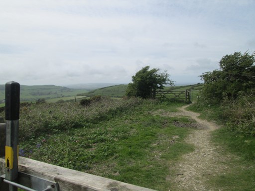
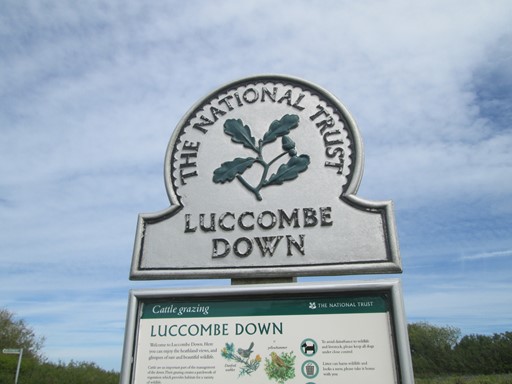
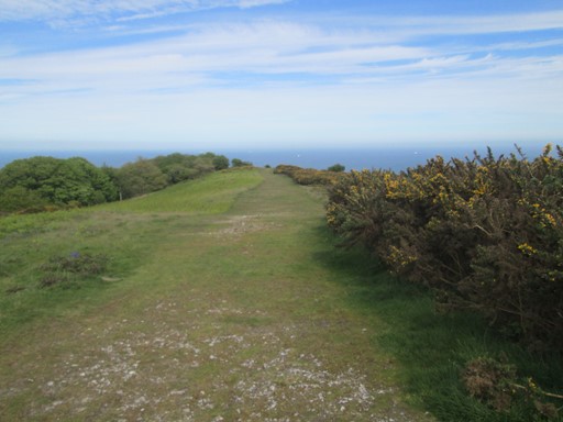
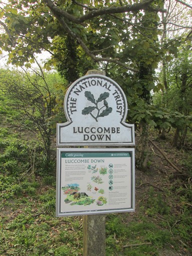
Luccombe Down
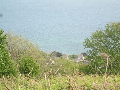
After Shanklin Down we reach the National Trust area of Luccombe Down which includes Bonchurch and St Boniface Downs. Our path takes us to about 241 metres above sea level, the highest point on the IOW. By the way, St Boniface is credited with introducing the custom of the Christmas Tree to Europe many centuries ago - just in case you wanted to know. Anyway, we circumnavigate the Radio and Radar Stations before descending Luccombe Village and the IOW coast path. A walk along the coast brings us back to Shanklin and the Railway Station.
Coming up to Luccombe Down.
Here is Luccombe Down.

It's very windy up here - and not just today as the trees tell us!
Looking west.
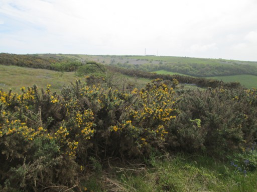
Looking south to the transmitters. Lots of gorse.

Looking north west.
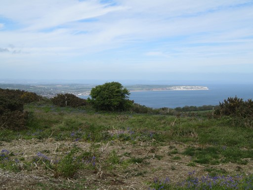
Looking towards Culver Cliff.
Looking west.
Looking west.
Looking back at the way I came.
Looking west.
Looking back at the way I came.
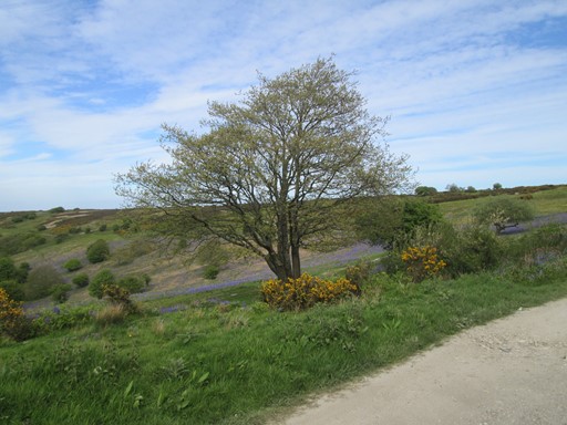
Bluebells and Yellow Gorse.
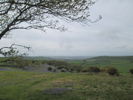
Looking towards Nansen Hill.
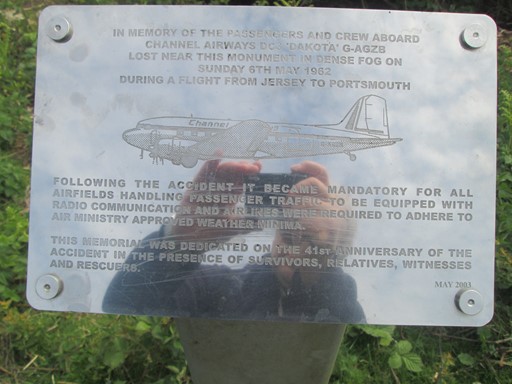
Monument to an air accident on 6th May 1962, on which day
a flight from Jersey to Portsmouth was lost in dense fog near this spot.
St Boniface Down: view out to sea.
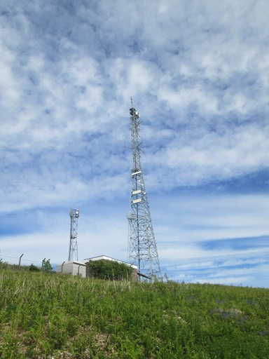
Radio and Radar transmitters above St Boniface Down.
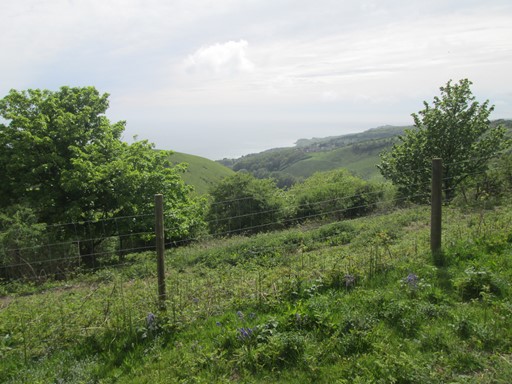
Bonchurch Down: view out to sea.
Bonchurch Down: view out to sea.
Bonchurch Down: view out to sea.
Transmitters - seems to be a third one to the right!
Descending to Nansen Hill. Culver Cliff in the Distance.
Descending to Nansen Hill.
Culver Cliff ...
...accompanies us ...
... as we descend.
We get to the end of the National Trust area of Luccombe Down.
Now we cross the busy Shanklin-Ventnor Road and head for the coastal path.
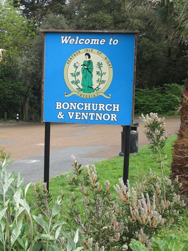
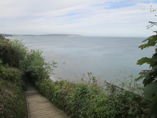
Coast to Shanklin
After Bonchurch Down the path descends over Nansen Hill, eventually to meet the coastal path. This meanders a tad through Luccombe Village, then descends further, via the Appley Steps, to Shanklin's sea front. From most points on the route, one can see Culver Cliff. In the sea front we see one of the landmarks of Shanklin - its well-known clock tower. A slight uphill climb brings me to Shanklin Station, from where I started out earlier in the day.
Between Nansen Hill and the coast path is the busy Shanklin-Ventnor Road.
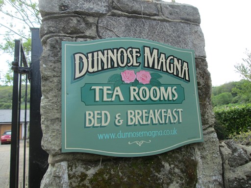
I was intrigued by the Latin ingredient in the name, but did not stop for tea.
Getting close to sea level.
Here are the Appley Steps.
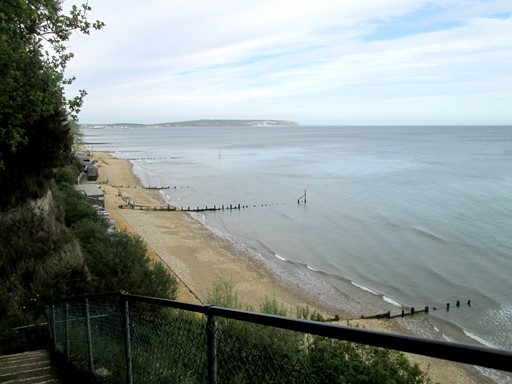
Shanklin. Descending Appley Steps. View of Beach, Groynes and Culver Cliff.
Shanklin: near the waterfront.
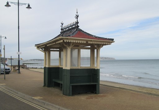
Shanklin Waterfront: decorative shelter - looks Victorian or Edwardian.
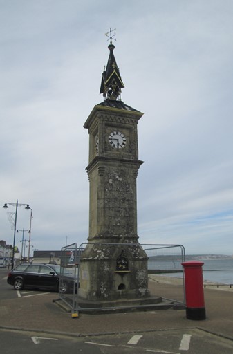
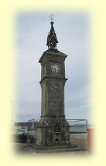
Shanklin Waterfront: Clocktower.
Return - Cross-Country to Newport
From Shanklin Station I took the bus cross country via Ventnor, Wroxall and Godshill back to Newport. It arrived just after the departure of the bus to Totland Bay. I had a 1½ hour wait in Newport, whose town centre has a few interesting aspects.
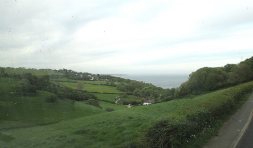
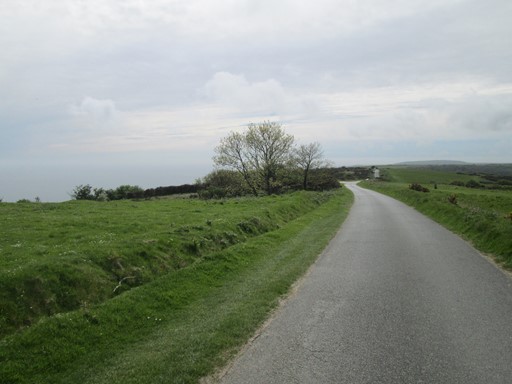
The road between Shanklin and Ventnor passes through some hilly and scenic landscape.
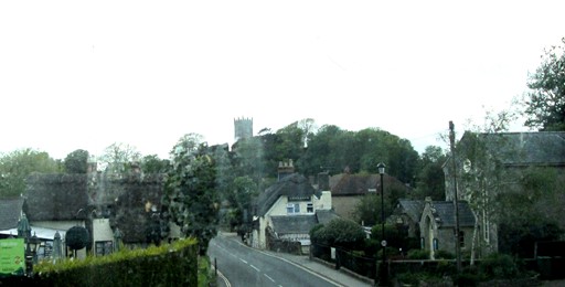
Here's a quick view from the bus of Godshill.
The village is historically interesting, although this picture does not give much away!
Original: 2018-06-04 @16:30
SAGAX REX HANC RETIS ORBIS PAGINAM PINXIT ANNO MMXVIII
© Eric Scharf 2018